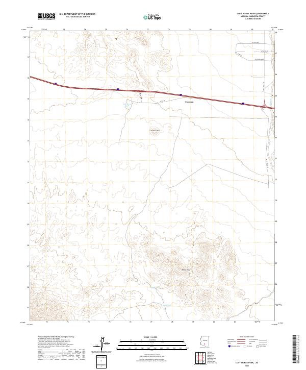
2021 Map of Lost Horse Peak
USGS Topo · Published 2021About this map
Lost Horse Peak rises as a central landmark in this southwestern corner of Maricopa County, anchoring a landscape defined by desert hydrology and early transit corridors. The settlement of Freeman sits along a primary east-west axis, where the modern thoroughfare parallels the historic alignment of W Old 84. This area illustrates the critical importance of water management in the arid environment, evidenced by scattered catchment features like Lost Horse Tank, Ormall Tank, and White Tank. To the east, the broad drainage of Vekol Wash cuts through the terrain near the junction of Vekol Valley Rd, while the southern portion of the quadrangle is dominated by the complex topography of the White Hills. The grid of residential named roads in the northeast, including W Estrella Ave and W Vista Ave, indicates more recent peripheral development reaching into the desert.
Find a feature on this map
20 named features on this map. Tap any name to fly to it.
Don’t see what you’re looking for? This feature index may not catch every label — zoom into the map to look around manually.
Map Details
Editions of this 2021 Lost Horse Peak Map
This is the sole edition of this map. No revisions or reprints were ever made.
Other maps of this area

1941 · Vekol Mountains
USGS Topo · 1:62,500

1942 · Vekol Mountains
USGS Topo · 1:62,500

1946 · Antelope Peak
USGS Topo · 1:62,500

1948 · Antelope Peak
USGS Topo · 1:62,500

1951 · Estrella
USGS Topo · 1:62,500

1953 · Ajo
USGS Topo · 1:250,000

1957 · Ajo
USGS Topo · 1:250,000

1958 · Ajo
USGS Topo · 1:250,000

1958 · Kaka
USGS Topo · 1:62,500

1962 · Ajo
USGS Topo · 1:250,000