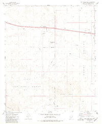
1979 Map of Lost Horse Peak
USGS Topo · Published 1980About this map
The Luke Air Force Range dominates the southwestern corner of this 1979 survey, indicating the area's strategic importance for military training during the late twentieth century. This desert landscape in Maricopa County is defined by the expansive Vekol Valley and punctuated by volcanic features like Lost Horse Peak and the White Hills. Water management is central to the human footprint here, as evidenced by a series of stock tanks such as Lost Horse Tank, Jones Tank, and Ormall Tank scattered across the arid terrain.
Find a feature on this map
24 named features on this map. Tap any name to fly to it.
Don’t see what you’re looking for? This feature index may not catch every label — zoom into the map to look around manually.
Map Details
Editions of this 1979 Lost Horse Peak Map
This is the sole edition of this map. No revisions or reprints were ever made.
Other maps of this area

1941 · Vekol Mountains
USGS Topo · 1:62,500

1942 · Vekol Mountains
USGS Topo · 1:62,500

1946 · Antelope Peak
USGS Topo · 1:62,500

1948 · Antelope Peak
USGS Topo · 1:62,500

1951 · Estrella
USGS Topo · 1:62,500

1953 · Ajo
USGS Topo · 1:250,000

1957 · Ajo
USGS Topo · 1:250,000

1958 · Ajo
USGS Topo · 1:250,000

1958 · Kaka
USGS Topo · 1:62,500

1962 · Ajo
USGS Topo · 1:250,000