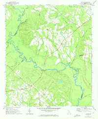
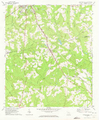
1971 Map of Lothair
USGS Topo · Published 1973About this map
The Oconee River dictates the landscape of this region where Treutlen, Laurens, Wheeler, and Montgomery counties converge. In the early 1970s, the river corridor remains defined by its natural topography, featuring significant landmarks like Berry Hill Bluff, Silver Bluff, and Williams Bluff. This survey provides a precise look at the rural social geography of the era, marked by several country congregations such as Beulah Ch, Rosemont Ch, and St Marks Ch.
Find a feature on this map
34 named features on this map. Tap any name to fly to it.
Don’t see what you’re looking for? This feature index may not catch every label — zoom into the map to look around manually.
Map Details
Editions of this 1971 Lothair Map
This is the sole edition of this map. No revisions or reprints were ever made.
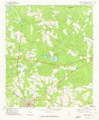
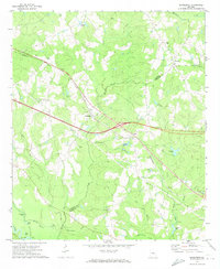
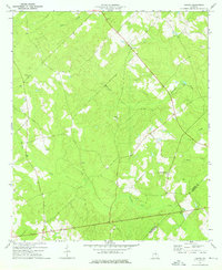
Other maps of this area

1957 · Macon
USGS Topo · 1:250,000

1958 · Macon
USGS Topo · 1:250,000

1964 · Macon
USGS Topo · 1:250,000
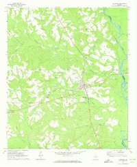
1970 · Glenwood
USGS Topo · 1:24,000
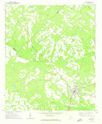
1970 · Alamo
USGS Topo · 1:24,000
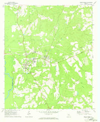
1970 · Mount Vernon
USGS Topo · 1:24,000
1971 · Soperton South
USGS Topo · 1:24,000
1971 · Soperton North
USGS Topo · 1:24,000
1971 · Rockledge
USGS Topo · 1:24,000
1974 · Lowery
USGS Topo · 1:24,000