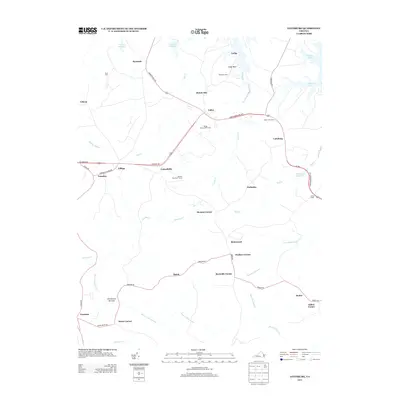
2013 Map of Lottsburg
USGS Topo · Published 2013About this map
Callao and Lottsburg serve as primary hubs for this portion of the Northern Neck, where the landscape is defined by the complex branching of coastal creeks and historical millponds. Small crossroads communities and family-named corners such as Walkers Corner, Scotts Corner, and Gillick Corner dot the terrain, illustrating a settlement pattern rooted in local intersections and landholdings.
Find a feature on this map
51 named features on this map. Tap any name to fly to it.
Don’t see what you’re looking for? This feature index may not catch every label — zoom into the map to look around manually.
Map Details
Editions of this 2013 Lottsburg Map
This is the sole edition of this map. No revisions or reprints were ever made.
Other maps of this area

1892 · Piney Point
USGS Topo · 1:62,500

1894 · Piney Point
USGS Topo · 1:62,500

1894 · Point Lookout
USGS Topo · 1:62,500

1895 · Nomini
USGS Topo · 1:125,000

1895 · Piney Point
USGS Topo · 1:62,500

1898 · Nomini
USGS Topo · 1:125,000

1898 · St. Marys
USGS Topo · 1:125,000

1901 · Piney Point
USGS Topo · 1:62,500

1906 · St. Marys
USGS Topo · 1:125,000

1912 · Point Lookout
USGS Topo · 1:62,500