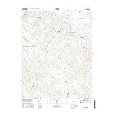
2016 Map of Lottsburg
USGS Topo · Published 2016About this map
The Tidewater region of the Northern Neck is defined by its deep coastal inlets and historic farming crossroads. Lottsburg and Callao serve as central points in a landscape carved by the Totuskey Cr and Coan Mill Stream, where the land extends into the water via prominent features like Pea Neck and Cherry Point Neck. The area's agricultural and industrial history is visible in the numerous millponds that dot the drainage basins, including Gardy Millpond, Courtney Millpond, and Falling Millpond.
Find a feature on this map
95 named features on this map. Tap any name to fly to it.
Don’t see what you’re looking for? This feature index may not catch every label — zoom into the map to look around manually.
Map Details
Editions of this 2016 Lottsburg Map
This is the sole edition of this map. No revisions or reprints were ever made.
Other maps of this area

1892 · Piney Point
USGS Topo · 1:62,500

1894 · Piney Point
USGS Topo · 1:62,500

1894 · Point Lookout
USGS Topo · 1:62,500

1895 · Nomini
USGS Topo · 1:125,000

1895 · Piney Point
USGS Topo · 1:62,500

1898 · Nomini
USGS Topo · 1:125,000

1898 · St. Marys
USGS Topo · 1:125,000

1901 · Piney Point
USGS Topo · 1:62,500

1906 · St. Marys
USGS Topo · 1:125,000

1912 · Point Lookout
USGS Topo · 1:62,500