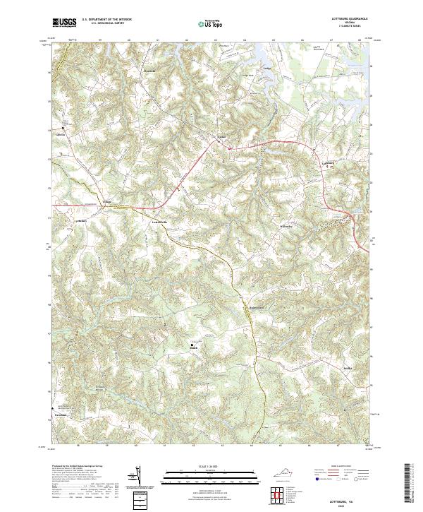
2022 Map of Lottsburg
USGS Topo · Published 2022About this map
The Northern Neck of Virginia, a peninsula defined by its deep relationship with the Chesapeake bay tributaries, is showcased in this modern survey. Settlements like Lottsburg and Callao serve as central nodes for a landscape etched by tidewater creeks and historic agricultural divisions. The land is characterized by numerous necks—peninsular points of land extending into the water—including Cherry Point Neck, Lodge Neck, and Pea Neck.
Find a feature on this map
103 named features on this map. Tap any name to fly to it.
Don’t see what you’re looking for? This feature index may not catch every label — zoom into the map to look around manually.
Map Details
Editions of this 2022 Lottsburg Map
This is the sole edition of this map. No revisions or reprints were ever made.
Other maps of this area

1892 · Piney Point
USGS Topo · 1:62,500

1894 · Piney Point
USGS Topo · 1:62,500

1894 · Point Lookout
USGS Topo · 1:62,500

1895 · Nomini
USGS Topo · 1:125,000

1895 · Piney Point
USGS Topo · 1:62,500

1898 · Nomini
USGS Topo · 1:125,000

1898 · St. Marys
USGS Topo · 1:125,000

1901 · Piney Point
USGS Topo · 1:62,500

1906 · St. Marys
USGS Topo · 1:125,000

1912 · Point Lookout
USGS Topo · 1:62,500