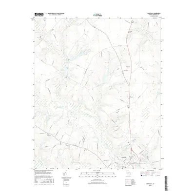
2017 Map of Louisville
USGS Topo · Published 2017About this map
Louisville serves as the focal point of this Jefferson County landscape, situated where the Ogeechee River and Rocky Comfort Cr converge. The area is defined by its numerous family and community burial grounds, such as Pioneer Cem, Ebenezer Cem, and Jones Grove Cem, which suggest a long-standing pattern of rural settlement and local genealogy. The hydrology of the region is equally prominent, featuring a complex network of tributaries like McQuaddy Br and Stinson Br, alongside larger bodies of water including Clarks Mill Pond and Henderson Lake.
Find a feature on this map
86 named features on this map. Tap any name to fly to it.
Don’t see what you’re looking for? This feature index may not catch every label — zoom into the map to look around manually.
Map Details
Editions of this 2017 Louisville Map
This is the sole edition of this map. No revisions or reprints were ever made.
Other maps of this area

1920 · Stapleton
USGS Topo · 1:62,500

1948 · Stapleton
USGS Topo · 1:62,500

1948 · Louisville
USGS Topo · 1:24,000

1950 · Louisville
USGS Topo · 1:24,000

1950 · Wrens
USGS Topo · 1:24,000

1950 · Matthews
USGS Topo · 1:24,000

1950 · Kellys Pond
USGS Topo · 1:24,000

1953 · Athens
USGS Topo · 1:250,000

1957 · Macon
USGS Topo · 1:250,000

1958 · Macon
USGS Topo · 1:250,000