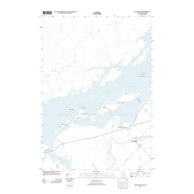
2013 Map of Louisville
USGS Topo · Published 2013About this map
The Saint Lawrence River dominates this international border region, carving a complex geography of islands and shoals along the northern edge of St. Lawrence County. Modern land use and recreational infrastructure define the riverfront, most notably at the Coles Creek Marina and the extensive recreational lands of Wilson Hill Island. Inland, the settlement of Louisville sits near the confluence where McConnell Cr and the Grass River approach the larger waterway. This 2013 survey illustrates the area's rural road network, including Co Rte 39 and Wilson Hill Rd, which connect the riverside communities. Genealogists will find the Saint Lawrence Cem well-marked near Louisville Corner, while maritime interests can locate navigational aids like the Leading Light and significant underwater features such as Crysler Shoal and Cat Island Shoal.
Find a feature on this map
28 named features on this map. Tap any name to fly to it.
Don’t see what you’re looking for? This feature index may not catch every label — zoom into the map to look around manually.
Map Details
Editions of this 2013 Louisville Map
This is the sole edition of this map. No revisions or reprints were ever made.
Other maps of this area

1905 · Waddington
USGS Topo · 1:62,500

1906 · Massena
USGS Topo · 1:62,500

1907 · Massena
USGS Topo · 1:62,500

1942 · Waddington
USGS Topo · 1:24,000

1942 · Chase Mills
USGS Topo · 1:24,000

1942 · Murphy Island
USGS Topo · 1:24,000

1942 · Norfolk
USGS Topo · 1:24,000

1942 · Massena
USGS Topo · 1:24,000
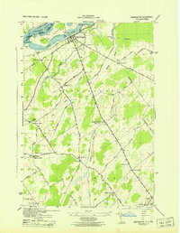
1943 · Waddington
USGS Topo · 1:31,680
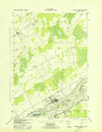
1943 · Murphy Island
USGS Topo · 1:31,680