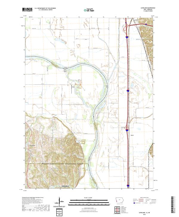
2022 Map of Loveland
USGS Topo · Published 2022About this map
Loveland and the surrounding river bluffs dominate this landscape along the eastern bank of the Missouri River. The complex hydrology of the valley floor is evidenced by the winding path of the Boyer River as it approaches its confluence, and the distinct oxbow features of Lower Calhoun Bend and Boyer Bend. These shifting watercourses define the border between Pottawattamie County, Iowa, and Washington County, Nebraska. Near the southern edge of the quadrangle, the hilly terrain of the Loess Hills gives way to the outskirts of Omaha. Notable local landmarks include the Shipley Cemetery and Heaton Airport, while remnants of early regional transport like the Old Lincoln Hwy parallel the modern interstate corridor. The map captures a moment where the wilder, marshy areas of the Boyer Chute meet the structured agriculture and expanding residential footprints of small communities like Nashville and Ascot.
Find a feature on this map
78 named features on this map. Tap any name to fly to it.
Don’t see what you’re looking for? This feature index may not catch every label — zoom into the map to look around manually.
Map Details
Editions of this 2022 Loveland Map
This is the sole edition of this map. No revisions or reprints were ever made.
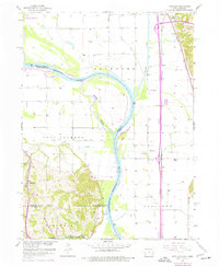
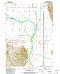
Historical Maps of Omaha Through Time
3 maps found