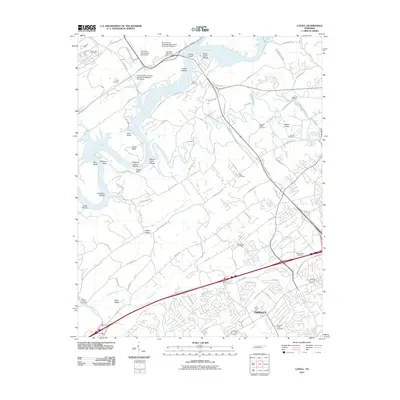
2010 Map of Lovell
USGS Topo · Published 2010About this map
The Clinch River defines the western edge of this landscape, its course marked by numerous historical river features like Holts Island Shoals, Cobbs Shoals, and Sneaking Island Shoals. The presence of the University of Tennessee Agriculture Experiment Station and the University of Tennessee Agriculture Research Laboratory speaks to the region's long-standing role in agricultural science, situated near the transition from academic research lands to the residential growth of Farragut.
Find a feature on this map
103 named features on this map. Tap any name to fly to it.
Don’t see what you’re looking for? This feature index may not catch every label — zoom into the map to look around manually.
Map Details
Editions of this 2010 Lovell Map
This is the sole edition of this map. No revisions or reprints were ever made.
Other maps of this area

1893 · Briceville
USGS Topo · 1:125,000

1895 · Loudon
USGS Topo · 1:125,000

1895 · Briceville
USGS Topo · 1:125,000

1896 · Briceville
USGS Topo · 1:125,000
1935 · Lenoir City
USGS Topo · 1:24,000
1935 · Bethel Valley
USGS Topo · 1:24,000
1935 · Bearden
USGS Topo · 1:24,000
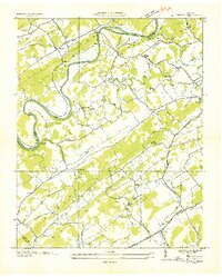
1935 · Lovell
USGS Topo · 1:24,000
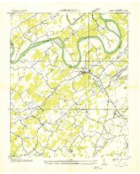
1936 · Louisville
USGS Topo · 1:24,000
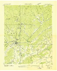
1936 · Windrock
USGS Topo · 1:24,000