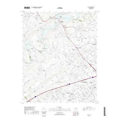
2019 Map of Lovell
USGS Topo · Published 2019About this map
Melton Hill Lake defines the northern reaches of this landscape, its waters winding past Burchfield Heights and the rocky features of Cobbs Shoals and Holts Island Shoals. The terrain is characterized by a series of prominent ridges, including Copper Ridge, Chestnut Ridge, and Blackoak Ridge, which dictate the local settlement patterns and road networks. Suburban development extends through Farragut and into the western reaches of Knoxville, with established residential areas like Village Green and Boxwood Hills appearing alongside modern educational institutions such as Pellissippi State Technical Community Coll.
Find a feature on this map
235 named features on this map. Tap any name to fly to it.
Don’t see what you’re looking for? This feature index may not catch every label — zoom into the map to look around manually.
Map Details
Editions of this 2019 Lovell Map
This is the sole edition of this map. No revisions or reprints were ever made.
Other maps of this area

1893 · Briceville
USGS Topo · 1:125,000

1895 · Loudon
USGS Topo · 1:125,000

1895 · Briceville
USGS Topo · 1:125,000

1896 · Briceville
USGS Topo · 1:125,000

1935 · Lenoir City
USGS Topo · 1:24,000

1935 · Bethel Valley
USGS Topo · 1:24,000

1935 · Bearden
USGS Topo · 1:24,000

1935 · Lovell
USGS Topo · 1:24,000

1936 · Louisville
USGS Topo · 1:24,000

1936 · Windrock
USGS Topo · 1:24,000