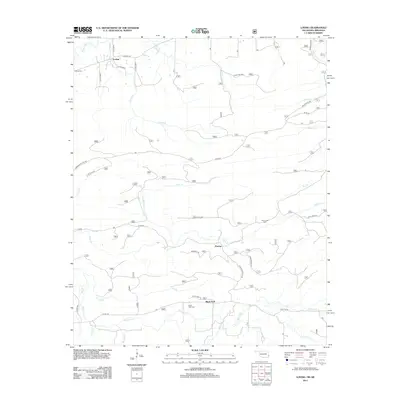
2013 Map of Loving
USGS Topo · Published 2013About this map
Loving and Puryear anchor this rural landscape near the border of Oklahoma and Arkansas, where the terrain is defined by the headwaters and tributaries of several major regional water systems. The northern reaches are shaped by the Poteau River, while the southern portion transitions toward the drainage basin of Black Fork. The settlement pattern follows the intricate network of creek valleys, with clusters of activity around historical landmarks such as Loving Cem and Haw Creek Cem. Transport routes like Walker Mtn Rd and the Blackfork Trl reflect the geographic constraints of the mountain ridges, guiding travelers through the gaps between Loving Cr and Cane Cr. This survey illustrates the persistence of small crossroad communities and family-named landmarks in a region characterized by its dense network of waterways, including Cedar Cr and Haw Cr.
Find a feature on this map
37 named features on this map. Tap any name to fly to it.
Don’t see what you’re looking for? This feature index may not catch every label — zoom into the map to look around manually.
Map Details
Editions of this 2013 Loving Map
This is the sole edition of this map. No revisions or reprints were ever made.
Other maps of this area

1887 · Poteau Mountain #2
USGS Topo · 1:62,500

1890 · Poteau Mountain
USGS Topo · 1:125,000

1899 · Poteau Mountain
USGS Topo · 1:125,000

1900 · Winding Stair
USGS Topo · 1:125,000

1909 · Winding Stair
USGS Topo · 1:125,000

1950 · Mcalester
USGS Topo · 1:250,000
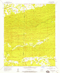
1958 · Loving
USGS Topo · 1:24,000
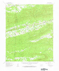
1958 · Bates
USGS Topo · 1:62,500

1958 · Potter
USGS Topo · 1:62,500
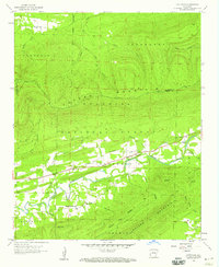
1958 · Cauthron
USGS Topo · 1:24,000