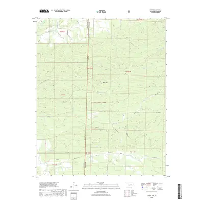
2019 Map of Loving
USGS Topo · Published 2019About this map
The Ouachita National Forest covers much of this landscape along the state line between Oklahoma and Arkansas, where the terrain is defined by the prominent Walker Mtn. This 2019 survey documents a collection of small rural settlements, including Loving and Puryear, connected by a network of forest roads and creek-side tracks. The local genealogy is well-preserved through several burial grounds, such as Loving Cem, Haw Creek Cem, and Black Fork Cem, which are situated near their respective namesake communities. Hydrology plays a central role in the area's layout, with the Poteau River flowing through the northwest corner and the Black Fork creek running across the southern portion of the map. Modern forest management and recreation are evident through features like the Blackfork Trl and various service roads that weave through the mountainous timberland.
Find a feature on this map
50 named features on this map. Tap any name to fly to it.
Don’t see what you’re looking for? This feature index may not catch every label — zoom into the map to look around manually.
Map Details
Editions of this 2019 Loving Map
This is the sole edition of this map. No revisions or reprints were ever made.
Other maps of this area

1887 · Poteau Mountain #2
USGS Topo · 1:62,500

1890 · Poteau Mountain
USGS Topo · 1:125,000

1899 · Poteau Mountain
USGS Topo · 1:125,000

1900 · Winding Stair
USGS Topo · 1:125,000

1909 · Winding Stair
USGS Topo · 1:125,000

1950 · Mcalester
USGS Topo · 1:250,000
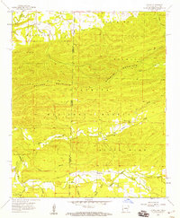
1958 · Loving
USGS Topo · 1:24,000
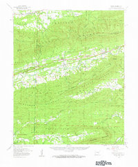
1958 · Bates
USGS Topo · 1:62,500

1958 · Potter
USGS Topo · 1:62,500
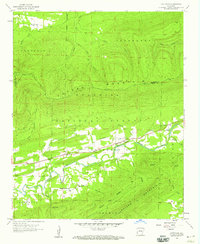
1958 · Cauthron
USGS Topo · 1:24,000