Loading...
Loading map...2022 Map of Loving
USGS Topo · Published 2022About this map
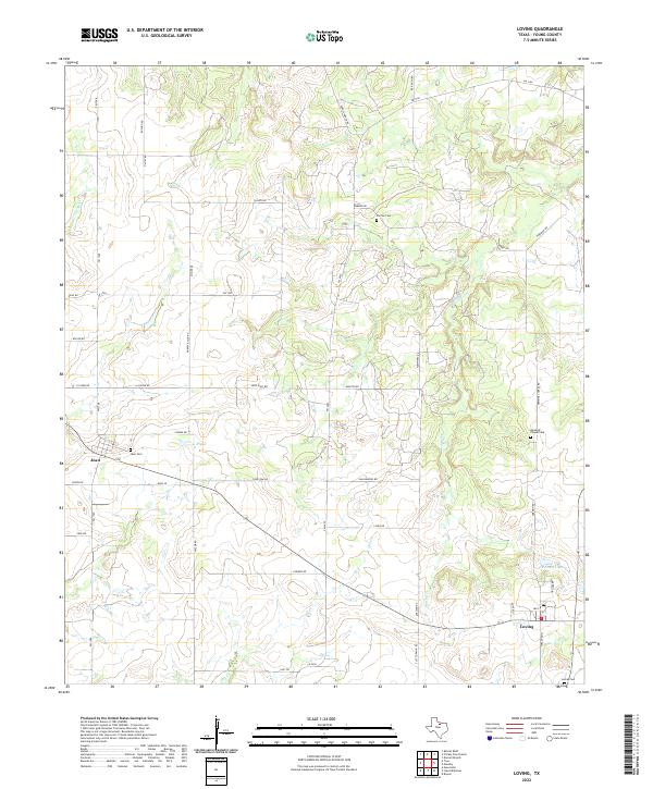
Loving and Jean anchor this portion of Young County, where the topography is defined by the dendritic drainage patterns of Little Salt Cr, Brushy Cr, and Oak Cr. The landscape is a network of rural homesteads and ranching tracts connected by a grid of named roads, many bearing the names of local families such as Sam Hawkins Rd, McGee Rd, and Cariker Rd.
Find a feature on this map
44 named features on this map. Tap any name to fly to it.
Don’t see what you’re looking for? This feature index may not catch every label — zoom into the map to look around manually.
Map Details
Date Portrayed2022
Date Published2022
PublisherU.S. Geological Survey
Map TypeTopographic
Scale1:24000
Physical Dimensions24 x 29 inches
Editions of this 2022 Loving Map
This is the sole edition of this map. No revisions or reprints were ever made.
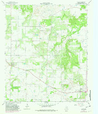
Historical Maps of Jean Through Time
Featured Locations
Source Details
SourceU.S. Geological Survey
CopyrightPublic Domain