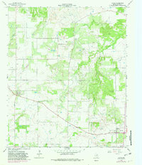
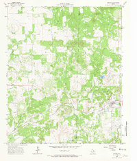
1964 Map of Loving
USGS Topo · Published 1982About this map
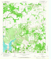
Petroleum production and rural crossroads define this corner of Young County, Texas, as documented during a 1964 survey with 1982 revisions. The settlement of Loving anchors the southeast, accompanied by the Loving Cem, while the smaller communities of Farmer and Jean punctuate the northern and western landscapes. The economy of the era is clearly legible through the numerous Oil Wells dotting the plains and the presence of a dedicated Oil Field and Refinery north of Brushy Creek.
Find a feature on this map
14 named features on this map. Tap any name to fly to it.
Don’t see what you’re looking for? This feature index may not catch every label — zoom into the map to look around manually.
Map Details
Editions of this 1964 Loving Map
2 editions found
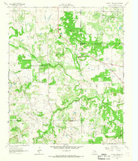
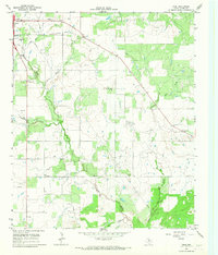
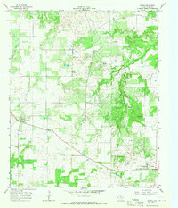
Other maps of this area
1927 · Graham
USGS Topo · 1:62,500

1954 · Wichita Falls
USGS Topo · 1:250,000

1958 · Wichita Falls
USGS Topo · 1:250,000
1964 · Newcastle
USGS Topo · 1:24,000
1964 · Bobcat Bluff
USGS Topo · 1:24,000
1964 · Darnell Branch
USGS Topo · 1:24,000
1964 · True
USGS Topo · 1:24,000
1964 · Loving
USGS Topo · 1:24,000
1964 · Bryson
USGS Topo · 1:24,000
1964 · Lake Eddleman
USGS Topo · 1:24,000