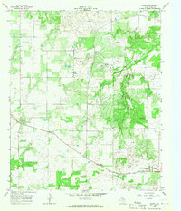
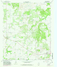
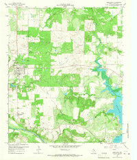
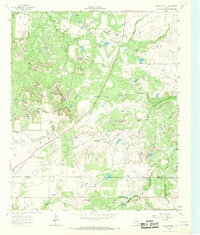
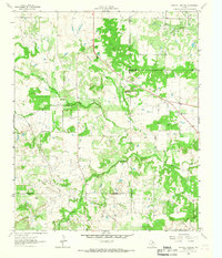
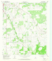
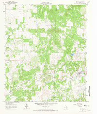
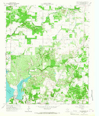
1964 Map of Loving
USGS Topo · Published 1967About this map
The Ligon Oil Field and numerous scattered Oil Wells dominate this mid-century view of Young County, Texas. This landscape represents the industrial character of North Texas during the early 1960s, where rural ranching and energy extraction exist side by side. The settlement of Loving sits in the southeast corner, while the small communities of Farmer and Jean are situated further north and west. Water sources like Little Salt Creek and Brushy Creek cut through the terrain, providing essential drainage for the region. Genealogists may find the Hawkins Chapel Cem and a single marked Grave particularly valuable for family research. The presence of a local Refinery and a dedicated Landing Strip near Farmer highlights the specialized infrastructure developed to support the local petroleum industry and remote transport.
Find a feature on this map
13 named features on this map. Tap any name to fly to it.
Don’t see what you’re looking for? This feature index may not catch every label — zoom into the map to look around manually.
Map Details
Editions of this 1964 Loving Map
2 editions found
Other maps of this area
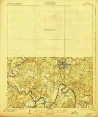
1927 · Graham
USGS Topo · 1:62,500

1954 · Wichita Falls
USGS Topo · 1:250,000

1958 · Wichita Falls
USGS Topo · 1:250,000
1964 · Newcastle
USGS Topo · 1:24,000
1964 · Bobcat Bluff
USGS Topo · 1:24,000
1964 · Darnell Branch
USGS Topo · 1:24,000
1964 · True
USGS Topo · 1:24,000
1964 · Bryson
USGS Topo · 1:24,000
1964 · Lake Eddleman
USGS Topo · 1:24,000
1964 · Prickly Pear Branch
USGS Topo · 1:24,000