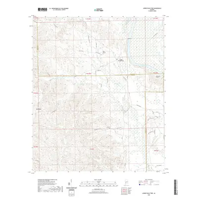
2020 Map of Lower Peach Tree
USGS Topo · Published 2020About this map
The Alabama River carves a sweeping path through this southwestern Alabama landscape, forming the boundary between Clarke and Wilcox counties near Lower Peach Tree. The settlement's history is anchored by the Lower Peach Tree Cem and nearby Ohio Bar, a prominent river feature. Further west, the crossroads of Nettleboro sits amid a dense network of local roads such as Nettlesboro Rd and Full Moon Rd, which navigate the creek-carved terrain. The map reveals a rural geography defined by small watercourses like Cane Cr and Little Dry Cr that feed into the larger river system. Genealogists will find interest in the documented burial grounds, including Kennedy Cem situated near Spring Hill Rd, while the presence of Sakti Nakni Ontala suggests the enduring cultural layers of the region.
Find a feature on this map
52 named features on this map. Tap any name to fly to it.
Don’t see what you’re looking for? This feature index may not catch every label — zoom into the map to look around manually.
Map Details
Editions of this 2020 Lower Peach Tree Map
This is the sole edition of this map. No revisions or reprints were ever made.
Other maps of this area

1953 · Andalusia
USGS Topo · 1:250,000

1957 · Andalusia
USGS Topo · 1:250,000

1972 · Franklin
USGS Topo · 1:24,000

1972 · Whatley
USGS Topo · 1:24,000

1972 · Chance
USGS Topo · 1:24,000

1973 · Coy
USGS Topo · 1:24,000

1973 · Fulton East
USGS Topo · 1:24,000

1973 · Hybart
USGS Topo · 1:24,000

1973 · Pine Hill
USGS Topo · 1:24,000

1973 · Thomasville
USGS Topo · 1:24,000