Loading...
Loading map...2023 Map of Lower Salem
USGS Topo · Published 2023About this map
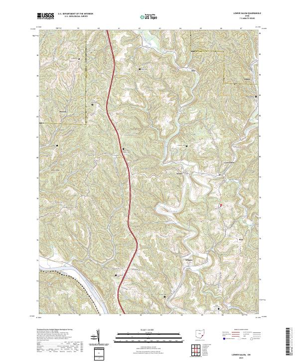
Duck Creek and its various forks dictate the settlement patterns of this Washington and Noble County borderland. The village of Lower Salem serves as a central hub where the East Fork Duck Creek meets the main channel, surrounded by smaller communities such as Warner, Whipple, and Bonn. The landscape is defined by its numerous ridges, including Dixon Ridge and Baker Ridge, which are crisscrossed by a dense network of township roads.
Find a feature on this map
98 named features on this map. Tap any name to fly to it.
Don’t see what you’re looking for? This feature index may not catch every label — zoom into the map to look around manually.
Map Details
Date Portrayed2023
Date Published2023
PublisherU.S. Geological Survey
Map TypeTopographic
Scale1:24000
Physical Dimensions24 x 29 inches
Editions of this 2023 Lower Salem Map
This is the sole edition of this map. No revisions or reprints were ever made.
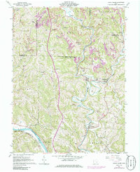
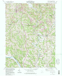
Historical Maps of Honesty Through Time
3 maps found
Featured Locations
Source Details
SourceU.S. Geological Survey
CopyrightPublic Domain