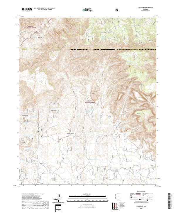
2021 Map of Loy Butte
USGS Topo · Published 2021About this map
Sycamore Canyon and its complex network of side drainages dominate this landscape within the Coconino National Forest and Prescott National Forest. The map documents a rugged high-desert environment defined by prominent mesas and buttes, such as Secret Mtn, Casner Mtn, and the titular Loy Butte. Historically significant sites like Robbers Roost are noted, highlighting the secluded nature of these red-rock formations. The water management system for this arid region is visible through numerous named tanks and springs, including Taylor Basin Tank and Sycamore Spring, which were essential for both early livestock operations and forest management. This 2021 record shows a wilderness largely accessible only by primitive routes like the Loy Canyon Trl and Casner Mountain Trl, preserving a snapshot of the backcountry of Coconino and Yavapai counties.
Find a feature on this map
71 named features on this map. Tap any name to fly to it.
Don’t see what you’re looking for? This feature index may not catch every label — zoom into the map to look around manually.
Map Details
Editions of this 2021 Loy Butte Map
This is the sole edition of this map. No revisions or reprints were ever made.
Other maps of this area

1886 · San Francisco Mtns
USGS Topo · 1:250,000

1886 · Chino
USGS Topo · 1:250,000

1887 · Verde
USGS Topo · 1:250,000

1887 · Prescott
USGS Topo · 1:250,000

1891 · San Francisco Mtns
USGS Topo · 1:250,000

1891 · Chino
USGS Topo · 1:250,000

1892 · Verde
USGS Topo · 1:250,000

1892 · Prescott
USGS Topo · 1:250,000

1894 · San Francisco Mtns
USGS Topo · 1:250,000

1899 · San Francisco Mtns
USGS Topo · 1:250,000