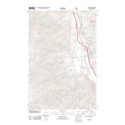
2011 Map of Lozeau
USGS Topo · Published 2011About this map
Quartz and the surrounding Mineral County landscape are defined by the winding course of the Clark Fork and a history of mountain extraction. This 2011 survey documents a corridor of transit and industry, where Mullan Rd E and the modern interstate follow the river valley through the Quartz Flat area. The map reveals a dense network of mining activity tucked into the gulches and along the ridges, including the Lucky 7 Mine, Joe Doris Mine, and the uniquely named X-Ray Vision Mine.
Find a feature on this map
67 named features on this map. Tap any name to fly to it.
Don’t see what you’re looking for? This feature index may not catch every label — zoom into the map to look around manually.
Map Details
Editions of this 2011 Lozeau Map
This is the sole edition of this map. No revisions or reprints were ever made.
Other maps of this area

1911 · Lolo
USGS Topo · 1:250,000

1913 · Lolo
USGS Topo · 1:250,000

1956 · Wallace
USGS Topo · 1:250,000

1956 · Hamilton
USGS Topo · 1:250,000

1959 · Hamilton
USGS Topo · 1:250,000

1959 · Tarkio
USGS Topo · 1:62,500

1960 · Wallace
USGS Topo · 1:250,000

1960 · Hamilton
USGS Topo · 1:250,000

1960 · Superior
USGS Topo · 1:62,500

1960 · Straight Peak
USGS Topo · 1:62,500