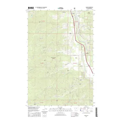
2017 Map of Lozeau
USGS Topo · Published 2017About this map
Clark Fork defines the eastern corridor of this terrain, where the river valley supports the primary settlements of Lozeau, Quartz, and Westfall. This area, largely contained within the Lolo National Forest, exhibits a complex network of forest development roads and mountain landmarks such as Magone Mtn, Sunrise Point, and Quartz Peak. The map provides specific detail for local history researchers, including the location of the Quartz Cem and the distinct geography of Quartz Flat. Significant drainages like Nemote Cr, Meadow Cr, and Trout Cr carve through the high country, connecting the peaks to the river valley below. The presence of numerous named gulches, such as Whiskey Gulch and Micayune Gulch, suggests a landscape shaped by both natural erosion and historical resource extraction.
Find a feature on this map
77 named features on this map. Tap any name to fly to it.
Don’t see what you’re looking for? This feature index may not catch every label — zoom into the map to look around manually.
Map Details
Editions of this 2017 Lozeau Map
This is the sole edition of this map. No revisions or reprints were ever made.
Other maps of this area

1911 · Lolo
USGS Topo · 1:250,000

1913 · Lolo
USGS Topo · 1:250,000

1956 · Wallace
USGS Topo · 1:250,000

1956 · Hamilton
USGS Topo · 1:250,000

1959 · Hamilton
USGS Topo · 1:250,000

1959 · Tarkio
USGS Topo · 1:62,500

1960 · Wallace
USGS Topo · 1:250,000

1960 · Hamilton
USGS Topo · 1:250,000

1960 · Superior
USGS Topo · 1:62,500

1960 · Straight Peak
USGS Topo · 1:62,500