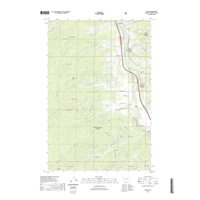
2020 Map of Lozeau
USGS Topo · Published 2020About this map
The Clark Fork river carves a significant path through this section of the Lolo National Forest, where the mountain terrain is defined by steep ridges and numerous gulches. Small settlements and points of interest like Quartz, Lozeau, and Westfall are positioned along the river corridor, which also serves as the primary artery for transportation. The landscape rises sharply from the riverbanks to high points such as Magone Mtn and Quartz Peak, with the notable Verde Saddle and Sunrise Point providing geographic orientation within the surrounding peaks.
Find a feature on this map
83 named features on this map. Tap any name to fly to it.
Don’t see what you’re looking for? This feature index may not catch every label — zoom into the map to look around manually.
Map Details
Editions of this 2020 Lozeau Map
This is the sole edition of this map. No revisions or reprints were ever made.
Other maps of this area
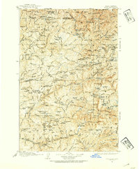
1911 · Lolo
USGS Topo · 1:250,000
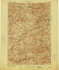
1913 · Lolo
USGS Topo · 1:250,000
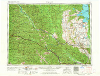
1956 · Wallace
USGS Topo · 1:250,000
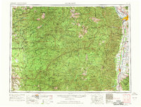
1956 · Hamilton
USGS Topo · 1:250,000
1959 · Hamilton
USGS Topo · 1:250,000
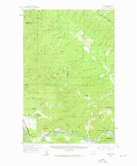
1959 · Tarkio
USGS Topo · 1:62,500
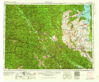
1960 · Wallace
USGS Topo · 1:250,000
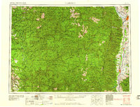
1960 · Hamilton
USGS Topo · 1:250,000
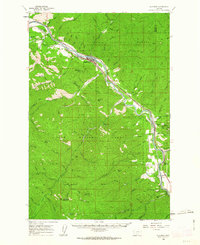
1960 · Superior
USGS Topo · 1:62,500
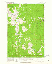
1960 · Straight Peak
USGS Topo · 1:62,500