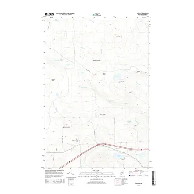
2014 Map of Ludlow
USGS Topo · Published 2014About this map
Smyrna Center and the township of Ludlow serve as the primary hubs in this Aroostook County landscape, where the terrain is defined by a series of parallel elevations including Number Seven Ridge, Bull Ridge, and Gardiner Ridge. The geography is heavily influenced by a network of waterways such as Mill Brook, B Stream, and the Duck Pond Outlet, which drain into several localized basins like Cochrane Lake and Timoney Lake. For those researching local lineages, the map identifies several distinct burial grounds, including Stewart Cem, Yerxa Cem, and the Amish Cem near Pilgrim Path. The infrastructure reflects a rural economy connected by routes like Us-2 and specialized access roads such as Duck Pd Rd and Smokey Hollow Rd, highlighting the intersection of timber-focused terrain and small-town settlement.
Find a feature on this map
59 named features on this map. Tap any name to fly to it.
Don’t see what you’re looking for? This feature index may not catch every label — zoom into the map to look around manually.
Map Details
Editions of this 2014 Ludlow Map
This is the sole edition of this map. No revisions or reprints were ever made.
Other maps of this area

1934 · Bridgewater
USGS Topo · 1:48,000

1935 · Howe Brook
USGS Topo · 1:48,000

1937 · Smyrna Mills
USGS Topo · 1:62,500

1938 · Bridgewater
USGS Topo · 1:62,500

1938 · Houlton
USGS Topo · 1:62,500

1939 · Howe Brook
USGS Topo · 1:62,500

1951 · Houlton
USGS Topo · 1:62,500

1951 · Bridgewater
USGS Topo · 1:62,500

1953 · Bridgewater
USGS Topo · 1:50,000

1954 · Howe Brook
USGS Topo · 1:62,500