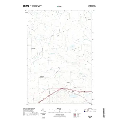
2018 Map of Ludlow
USGS Topo · Published 2018About this map
Smyrna Center and the village of Ludlow anchor this section of Aroostook County, characterized by a series of parallel ridges and extensive wetlands typical of northeastern Maine. The landscape is defined by elevated landforms like Bull Ridge, Number Seven Ridge, and Gardiner Ridge, which separate numerous glacial water bodies and drainage systems. Waterways such as Captain Ambrose Bear Stream and the expansive Thousand Acre Swamp dominate the northern terrain, while Cochrane Lake sits near the southern boundary. Local family history is preserved through several small burial grounds, including Stewart Cem, Yerxa Cem, and the Amish Cem, the latter indicating a distinct cultural presence in the rural township. Road networks like Smyrna Townline Rd and Mansur Brook Rd follow the natural contours of the ridges, connecting remote homesteads and woodlots across this heavily forested region.
Find a feature on this map
65 named features on this map. Tap any name to fly to it.
Don’t see what you’re looking for? This feature index may not catch every label — zoom into the map to look around manually.
Map Details
Editions of this 2018 Ludlow Map
This is the sole edition of this map. No revisions or reprints were ever made.
Other maps of this area

1934 · Bridgewater
USGS Topo · 1:48,000

1935 · Howe Brook
USGS Topo · 1:48,000

1937 · Smyrna Mills
USGS Topo · 1:62,500

1938 · Bridgewater
USGS Topo · 1:62,500

1938 · Houlton
USGS Topo · 1:62,500

1939 · Howe Brook
USGS Topo · 1:62,500

1951 · Houlton
USGS Topo · 1:62,500

1951 · Bridgewater
USGS Topo · 1:62,500

1953 · Bridgewater
USGS Topo · 1:50,000

1954 · Howe Brook
USGS Topo · 1:62,500