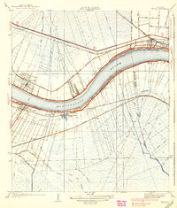
1938 Map of Luling
USGS Topo · Published 1938About this map
Mississippi River commerce and the low-lying wetlands of St Charles Parish define this landscape during the mid-1930s. The survey illustrates the critical relationship between the river and the rail infrastructure that fueled the local economy, including the Illinois Central Railroad and the Southern Pacific Railroad. Notable riverfront settlements such as Kenner, Destrehan, and Luling appear along the levees, showing their proximity to the water and the intricate network of drainage canals like the Sellers Canal and Outfall Canal that manage the surrounding marshland.
Find a feature on this map
38 named features on this map. Tap any name to fly to it.
Don’t see what you’re looking for? This feature index may not catch every label — zoom into the map to look around manually.
Map Details
Editions of this 1938 Luling Map
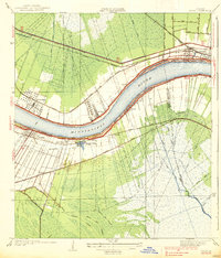
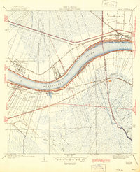
3 editions found
Other maps of this area

1891 · Hahnville
USGS Topo · 1:62,500

1891 · Spanish Fort
USGS Topo · 1:62,500

1891 · New Orleans
USGS Topo · 1:62,500

1892 · Bonnet Carre
USGS Topo · 1:62,500

1932 · New Orleans NW
USGS Topo · 1:31,680

1932 · New Orleans SW
USGS Topo · 1:31,680

1932 · Hahnville NW
USGS Topo · 1:31,680

1932 · Hahnville SW
USGS Topo · 1:31,680

1932 · Hahnville NE
USGS Topo · 1:31,680

1935 · Laplace
USGS Topo · 1:31,680