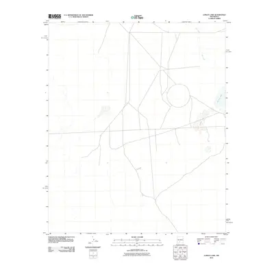
2010 Map of Lumley Lake
USGS Topo · Published 2010About this map
Lumley Lake and Big Salt Lake dominate the arid basin of this Southern New Mexico landscape at the beginning of the 21st century. The geography is defined by ephemeral hydrology, where water flow is primarily characterized by the drainage of Salt Creek through the desert flats. A network of local roads and 4WD tracks crisscrosses the terrain, indicating a landscape utilized for land management or grazing rather than dense habitation. The absence of built settlements or civic structures underscores the remote nature of this portion of Doña Ana County, where the topography is shaped by wide basins and the distinct presence of alkali lake beds common to the region.
Find a feature on this map
3 named features on this map. Tap any name to fly to it.
Don’t see what you’re looking for? This feature index may not catch every label — zoom into the map to look around manually.
Map Details
Editions of this 2010 Lumley Lake Map
This is the sole edition of this map. No revisions or reprints were ever made.
Other maps of this area

1916 · Tonuco
USGS Topo · 1:125,000

1916 · Salinas Peak
USGS Topo · 1:125,000

1916 · Tularosa
USGS Topo · 1:125,000

1916 · Point Of Sands
USGS Topo · 1:125,000

1932 · Tonuco
USGS Topo · 1:125,000

1947 · Point Of Sands 2
USGS Topo · 1:62,500

1948 · Kaylor Mountain
USGS Topo · 1:62,500

1948 · Black Top Mountain
USGS Topo · 1:62,500

1948 · Lumley Lake
USGS Topo · 1:62,500

1954 · Tularosa
USGS Topo · 1:250,000