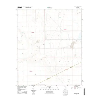
2013 Map of Lumley Lake
USGS Topo · Published 2013About this map
Tularosa Valley defines the arid character of this 2013 survey, where the sparse landscape is punctuated by evaporative basins and livestock infrastructure. The southwestern corner is dominated by the vast, pale expanse of Alkali Flat and the northern reaches of White Sands, showcasing a terrain shaped by wind and mineral deposits. Water sources are scarce and localized, represented by features such as Alkali Spring and small reservoirs like C C C Tank and Mason Tank.
Find a feature on this map
14 named features on this map. Tap any name to fly to it.
Don’t see what you’re looking for? This feature index may not catch every label — zoom into the map to look around manually.
Map Details
Editions of this 2013 Lumley Lake Map
This is the sole edition of this map. No revisions or reprints were ever made.
Other maps of this area
1916 · Tonuco
USGS Topo · 1:125,000
1916 · Salinas Peak
USGS Topo · 1:125,000
1916 · Tularosa
USGS Topo · 1:125,000
1916 · Point Of Sands
USGS Topo · 1:125,000
1932 · Tonuco
USGS Topo · 1:125,000
1947 · Point Of Sands 2
USGS Topo · 1:62,500
1948 · Kaylor Mountain
USGS Topo · 1:62,500
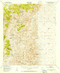
1948 · Black Top Mountain
USGS Topo · 1:62,500
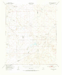
1948 · Lumley Lake
USGS Topo · 1:62,500

1954 · Tularosa
USGS Topo · 1:250,000