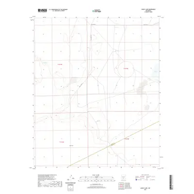
2020 Map of Lumley Lake
USGS Topo · Published 2020About this map
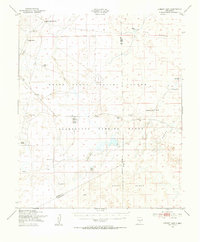
Alkali Flat dominates the lower portion of this arid basin landscape, which is defined by its seasonal hydrography and military restricted routes. In this high-desert environment, water is the primary landmark, seen in the clustered basins of Lumley Lake and Big Salt Lake to the east. These ephemeral catchments, along with Alkali Spring and the C C C Tank, suggest the historical importance of securing reliable water sources for livestock or travel in this dry expanse of Sierra and Doña Ana Counties. The sparse infrastructure is largely limited to the corridors of WSMR P Route 6 and WSMR S Route 304, indicating the area's integration into the White Sands Missile Range. The presence of Salt Cr further illustrates the saline character of the surface water and the drainage patterns that feed the surrounding flats.
Find a feature on this map
13 named features on this map. Tap any name to fly to it.
Don’t see what you’re looking for? This feature index may not catch every label — zoom into the map to look around manually.
Map Details
Editions of this 2020 Lumley Lake Map
This is the sole edition of this map. No revisions or reprints were ever made.
Other maps of this area
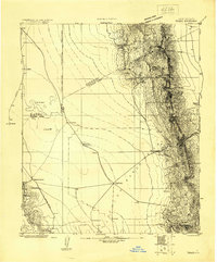
1916 · Tonuco
USGS Topo · 1:125,000
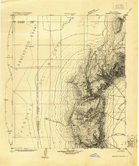
1916 · Salinas Peak
USGS Topo · 1:125,000
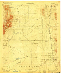
1916 · Tularosa
USGS Topo · 1:125,000
1916 · Point Of Sands
USGS Topo · 1:125,000
1932 · Tonuco
USGS Topo · 1:125,000
1947 · Point Of Sands 2
USGS Topo · 1:62,500
1948 · Kaylor Mountain
USGS Topo · 1:62,500
1948 · Black Top Mountain
USGS Topo · 1:62,500
1948 · Lumley Lake
USGS Topo · 1:62,500

1954 · Tularosa
USGS Topo · 1:250,000