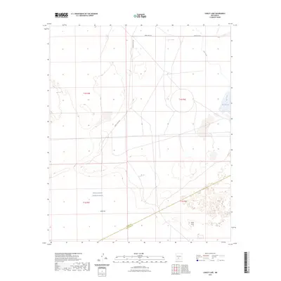
2023 Map of Lumley Lake
USGS Topo · Published 2023About this map
White Sands Missile Range dominates this arid landscape at the border of Sierra and Doña Ana counties. The terrain is defined by its extreme alkalinity and sparse water sources, centered on the vast Alkali Flat and the gypsum dunes of White Sands. This environment creates a distinctive hydrographic pattern where seasonal or intermittent water features like Big Salt Lake and Salt Creek punctuate the desert floor. Human activity is almost entirely restricted to military infrastructure, indicated by restricted access roads such as WSMR P Route 6 and WSMR S Route 304. Small, isolated water points like Alkali Spring and the C C C Tank provide the only biological relief in a high-desert basin managed for defense testing and environmental preservation.
Find a feature on this map
14 named features on this map. Tap any name to fly to it.
Don’t see what you’re looking for? This feature index may not catch every label — zoom into the map to look around manually.
Map Details
Editions of this 2023 Lumley Lake Map
This is the sole edition of this map. No revisions or reprints were ever made.
Other maps of this area

1916 · Tonuco
USGS Topo · 1:125,000

1916 · Salinas Peak
USGS Topo · 1:125,000

1916 · Tularosa
USGS Topo · 1:125,000

1916 · Point Of Sands
USGS Topo · 1:125,000

1932 · Tonuco
USGS Topo · 1:125,000

1947 · Point Of Sands 2
USGS Topo · 1:62,500

1948 · Kaylor Mountain
USGS Topo · 1:62,500

1948 · Black Top Mountain
USGS Topo · 1:62,500

1948 · Lumley Lake
USGS Topo · 1:62,500

1954 · Tularosa
USGS Topo · 1:250,000