Loading...
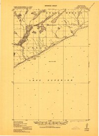
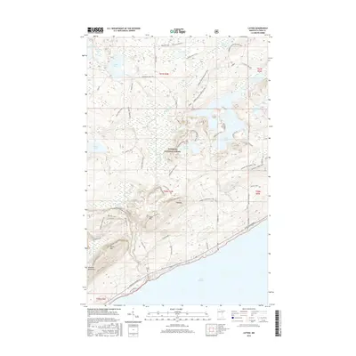
Loading map...1919 Map of Lutsen
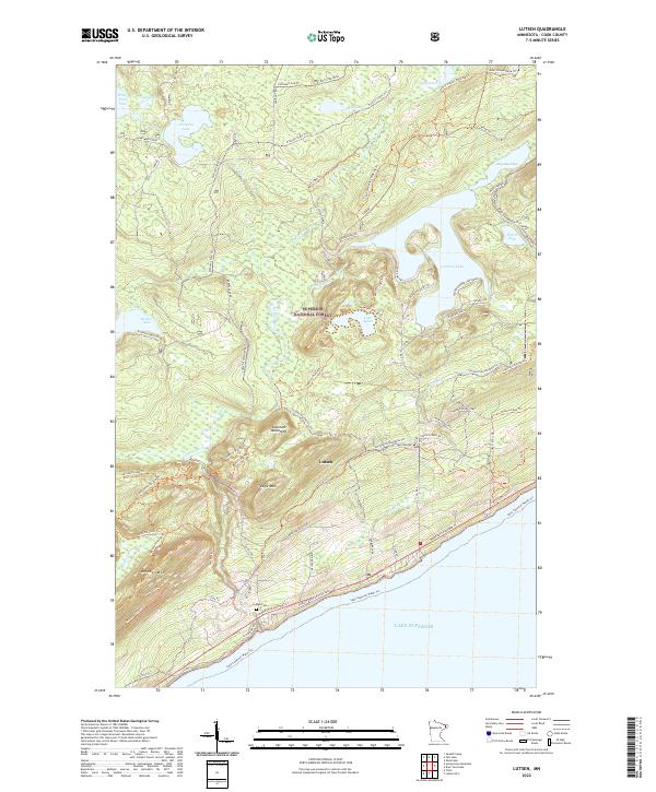
USGS Topo · Published 1943About this map
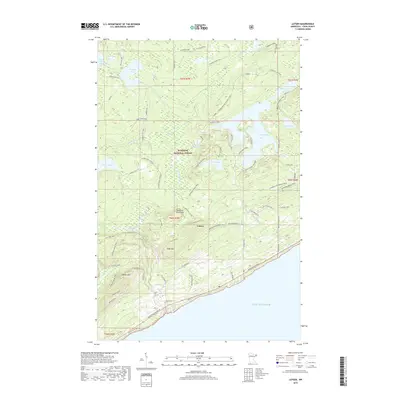
Lutsen and Lockport anchor the rocky shoreline of Cook County in this 1919 compilation, which captures the North Shore before modern highway developments. The landscape is defined by the sharp descent of several waterways toward Lake Superior, including the Poplar River, Spruce River, and Cascade River. Inland, the terrain transition is marked by a prominent Correction Line and several large water bodies such as Sucker Lake.
Find a feature on this map
13 named features on this map. Tap any name to fly to it.
Don’t see what you’re looking for? This feature index may not catch every label — zoom into the map to look around manually.
Map Details
Date Portrayed1919
Date Published1943
PublisherU.S. Geological Survey
Map TypeTopographic
Scale1:62,500
Physical Dimensions21.53 x 27.23 inches
Editions of this 1919 Lutsen Map
This is the sole edition of this map. No revisions or reprints were ever made.
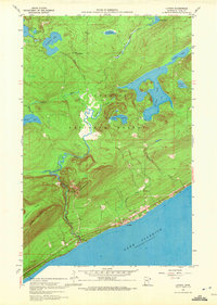
Historical Maps of Lutsen Through Time
7 maps found
Featured Locations
Source Details
SourceU.S. Geological Survey
CopyrightPublic Domain