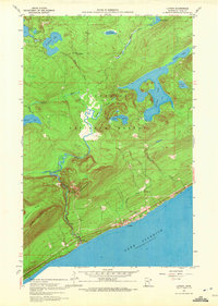
1959 Map of Lutsen
USGS Topo · Published 1972About this map
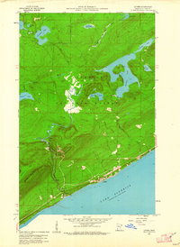
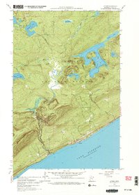
The rugged North Shore of Lake Superior dominates this mid-century portrait of Lutsen, Minnesota. Surveyed in 1959, the map reveals a landscape defined by dramatic elevation changes and a dense network of inland waters. The Poplar River cuts a prominent path toward the Great Lake, while local heights like Eagle Mountain, Moose Mountain, and Rollins Mountain overlook the Superior National Forest. Within this wilderness setting, Caribou Lake and Lake Agnes stand out as significant inland bodies. This survey captures the region before extensive modern development, showing the community centered around the Lutsen Cem and a handful of gravel pits. The mapping of soundings and depth curves in the lakes, compiled from Minnesota Department of Conservation charts, provides a rare look at the underwater topography of this glacial landscape.
Find a feature on this map
24 named features on this map. Tap any name to fly to it.
Don’t see what you’re looking for? This feature index may not catch every label — zoom into the map to look around manually.
Map Details
Editions of this 1959 Lutsen Map
4 editions found
Other maps of this area

1919 · Brule Lake
USGS Topo · 1:62,500

1919 · Lutsen
USGS Topo · 1:62,500

1954 · Two Harbors
USGS Topo · 1:250,000

1955 · Tofte
USGS Topo · 1:24,000

1955 · Tofte
USGS Topo · 1:62,500

1957 · Two Harbors
USGS Topo · 1:250,000

1958 · Two Harbors
USGS Topo · 1:250,000

1958 · Deer Yard Lake
USGS Topo · 1:24,000

1959 · Lutsen
USGS Topo · 1:24,000

1960 · Tait Lake
USGS Topo · 1:24,000