
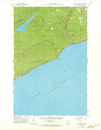
1958 Map of Deer Yard Lake
USGS Topo · Published 1959About this map
Lake Superior dominates the southern portion of this landscape, its shoreline marked by the prominent protrusion of Black Point. The interior terrain is defined by the drainage networks of Indian Camp Creek and Murmur Creek, which carve through the heavily forested uplands of the Superior National Forest. Near the coast, the waters of Deer Yard Creek flow toward the great lake, while further inland, the namesake Deer Yard Lake sits as a central water feature.
Find a feature on this map
11 named features on this map. Tap any name to fly to it.
Don’t see what you’re looking for? This feature index may not catch every label — zoom into the map to look around manually.
Map Details
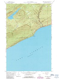
Editions of this 1958 Deer Yard Lake Map
3 editions found
Other maps of this area

1919 · Brule Lake
USGS Topo · 1:62,500

1919 · Grand Marais
USGS Topo · 1:62,500

1919 · Lutsen
USGS Topo · 1:62,500

1954 · Two Harbors
USGS Topo · 1:250,000

1957 · Two Harbors
USGS Topo · 1:250,000

1958 · Two Harbors
USGS Topo · 1:250,000

1958 · Good Harbor Bay
USGS Topo · 1:24,000

1959 · Lutsen
USGS Topo · 1:24,000

1960 · Tait Lake
USGS Topo · 1:24,000
1960 · Devil Track Lake
USGS Topo · 1:24,000