
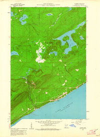
1959 Map of Lutsen
USGS Topo · Published 1960About this map
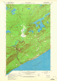
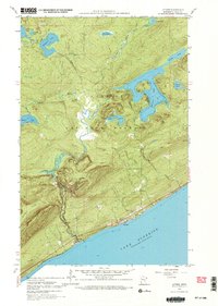
The coastal village of Lutsen sits on the edge of Lake Superior, serving as a gateway to the dense woodlands of the Superior National Forest. This late-1950s survey captures a transition in the local economy from traditional wilderness activities toward the burgeoning winter recreation industry, evidenced by the Skiing Sta at the base of Moose Mountain. The landscape is dominated by a complex network of glacial lakes and rivers, including the expansive Caribou Lake, Barker Lake, and Christine Lake, which feed the Poplar River as it descends toward the Great Lake. High points like Eagle Mountain provide a dramatic backdrop to the drainage basins of Caribou Creek and Tait River. Cultural features like the Lutsen Cem and a small Gravel Pit near Vat Lake reflect the small-scale infrastructure supporting this North Shore community during the mid-century era.
Find a feature on this map
28 named features on this map. Tap any name to fly to it.
Don’t see what you’re looking for? This feature index may not catch every label — zoom into the map to look around manually.
Map Details
Editions of this 1959 Lutsen Map
4 editions found
Other maps of this area

1919 · Brule Lake
USGS Topo · 1:62,500

1919 · Lutsen
USGS Topo · 1:62,500

1954 · Two Harbors
USGS Topo · 1:250,000

1955 · Tofte
USGS Topo · 1:24,000

1955 · Tofte
USGS Topo · 1:62,500

1957 · Two Harbors
USGS Topo · 1:250,000

1958 · Two Harbors
USGS Topo · 1:250,000

1958 · Deer Yard Lake
USGS Topo · 1:24,000

1960 · Tait Lake
USGS Topo · 1:24,000

1960 · Mark Lake
USGS Topo · 1:24,000