
1960 Map of Mark Lake
USGS Topo · Published 1962About this map
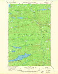
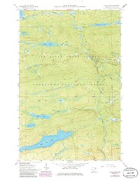
Pike Lake dominates the southern landscape of this Cook County survey, where depth curves reveal the underwater topography of this significant water body. The area is defined by the dense woods of the Minnesota State Forest and the Superior National Forest, highlighting a mid-century wilderness managed for timber and recreation. Evidence of earlier industrial activity remains in the form of an Old Railroad corridor that cuts through the center of the map, while the presence of a Gravel Pit suggests the ongoing maintenance of the local road network. The Cascade River winds through the northern sections, supported by the Cascade River Campground for those navigating the North Shore's hinterlands. Smaller basins like Whale Lake, McDonald Lake, and Mark Lake are scattered across the terrain, reflecting the glaciated character of the Arrowhead Region during the early 1960s.
Find a feature on this map
18 named features on this map. Tap any name to fly to it.
Don’t see what you’re looking for? This feature index may not catch every label — zoom into the map to look around manually.
Map Details
Editions of this 1960 Mark Lake Map
3 editions found
Other maps of this area

1919 · Brule Lake
USGS Topo · 1:62,500

1919 · Grand Marais
USGS Topo · 1:62,500

1919 · Lutsen
USGS Topo · 1:62,500

1954 · Two Harbors
USGS Topo · 1:250,000

1957 · Two Harbors
USGS Topo · 1:250,000

1958 · Two Harbors
USGS Topo · 1:250,000

1958 · Deer Yard Lake
USGS Topo · 1:24,000

1958 · Good Harbor Bay
USGS Topo · 1:24,000

1959 · Lutsen
USGS Topo · 1:24,000

1959 · Lima Mountain
USGS Topo · 1:24,000