
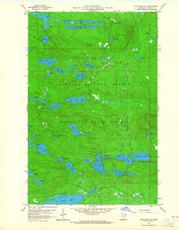
1959 Map of Lima Mountain
USGS Topo · Published 1961About this map
The Misquah Hills dominate this portion of the Arrowhead Region, representing a landscape defined by its complex glacial hydrology and early industrial access. In the late 1950s, this area of the Superior National Forest and Minnesota State Forest remained a wilderness of interconnected waterways like Misquah Lake and Lima Lake. A notable human imprint is the Old Railroad Grade that winds through the center of the sheet, passing near Skidway Lake and Lower Trout Lake. This former rail corridor once facilitated the extraction of timber from these remote woods, a precursor to the modern recreational use implied by the Lookout Tower on Lima Mountain. The drainage patterns of the Brule River and South Brule River carve through the high terrain, while scattered features like the Gravel Pit near Pit Lake mark small-scale local resource use within the forest.
Find a feature on this map
59 named features on this map. Tap any name to fly to it.
Don’t see what you’re looking for? This feature index may not catch every label — zoom into the map to look around manually.
Map Details
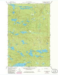
Editions of this 1959 Lima Mountain Map
3 editions found
Other maps of this area

1919 · Brule Lake
USGS Topo · 1:62,500

1954 · Two Harbors
USGS Topo · 1:250,000

1957 · Two Harbors
USGS Topo · 1:250,000

1957 · Quetico
USGS Topo · 1:250,000

1958 · Two Harbors
USGS Topo · 1:250,000

1959 · Pine Mountain
USGS Topo · 1:24,000

1959 · Hungry Jack Lake
USGS Topo · 1:24,000

1959 · Crocodile Lake
USGS Topo · 1:24,000

1960 · Grand Marais
USGS Topo · 1:24,000
1960 · Devil Track Lake
USGS Topo · 1:24,000