
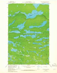
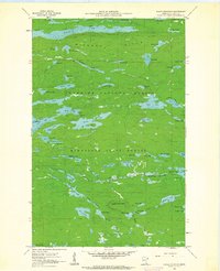
1959 Map of Hungry Jack Lake
USGS Topo · Published 1962About this map
The Canada-United States border cuts through a network of interconnected waterways in this late 1950s survey of Cook County. The landscape is dominated by the Superior National Forest and Minnesota State Forest, where the topography is defined by dozens of elongated glacial lakes such as Rose Lake, Hungry Jack Lake, and Bearskin Lake. The historic Gunflint Trail serves as the primary artery through the timberland, connecting remote recreation spots like the Flour Lake Campground. Notable landmarks such as the Bearskin Lookout Tower and Stairway Portage reflect the area's history as a hub for forestry monitoring and traditional travel routes between the international boundary waters. The map also delineates the Fourth Principal Meridian, a critical baseline for early regional land surveying and settlement patterns.
Find a feature on this map
57 named features on this map. Tap any name to fly to it.
Don’t see what you’re looking for? This feature index may not catch every label — zoom into the map to look around manually.
Map Details
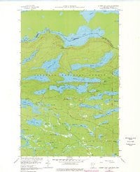
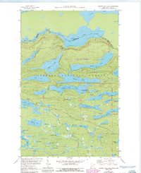
Editions of this 1959 Hungry Jack Lake Map
4 editions found
Other maps of this area

1919 · Brule Lake
USGS Topo · 1:62,500

1954 · Two Harbors
USGS Topo · 1:250,000

1957 · Two Harbors
USGS Topo · 1:250,000

1957 · Quetico
USGS Topo · 1:250,000

1958 · Two Harbors
USGS Topo · 1:250,000

1959 · Pine Mountain
USGS Topo · 1:24,000

1959 · Lima Mountain
USGS Topo · 1:24,000

1959 · Crocodile Lake
USGS Topo · 1:24,000
1960 · South Lake
USGS Topo · 1:24,000
1960 · Eagle Mountain
USGS Topo · 1:24,000