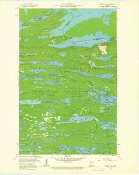
1960 Map of South Lake
USGS Topo · Published 1962About this map
North Lake and South Lake dominate this borderland landscape, where the international boundary between Ontario and the United States threads through a dense chain of waterways. The terrain is marked by the historical transit routes of the fur trade and early industry, including the Height of Land Portage and the Railroad Portage. A defunct Railroad Grade skirts the northern edge of Gunflint Lake, hinting at the era of northern resource extraction.
Find a feature on this map
66 named features on this map. Tap any name to fly to it.
Don’t see what you’re looking for? This feature index may not catch every label — zoom into the map to look around manually.
Map Details
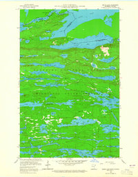
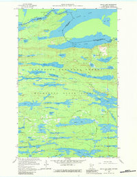
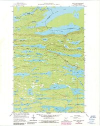
Editions of this 1960 South Lake Map
4 editions found
Other maps of this area

1919 · Brule Lake
USGS Topo · 1:62,500

1954 · Two Harbors
USGS Topo · 1:250,000

1957 · Two Harbors
USGS Topo · 1:250,000

1957 · Quetico
USGS Topo · 1:250,000

1958 · Two Harbors
USGS Topo · 1:250,000

1959 · Lima Mountain
USGS Topo · 1:24,000

1959 · Hungry Jack Lake
USGS Topo · 1:24,000
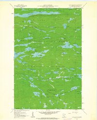
1960 · Eagle Mountain
USGS Topo · 1:24,000

1960 · Brule Lake
USGS Topo · 1:24,000
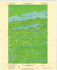
1960 · Gunflint Lake
USGS Topo · 1:24,000