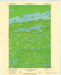
1960 Map of Gunflint Lake
USGS Topo · Published 1962About this map
Gunflint Lake and Loon Lake dominate this 1960 survey of the international boundary between Ontario and the United States. The map documents a landscape defined by its glacial hydrology and early industrial transit, most notably the Old Railroad Grade and the winding Gunflint Trail. These features suggest a period of transition as timber and transport routes gave way to the protected recreational areas of the Superior National Forest and Minnesota State Forest. Researchers can trace the network of interior waterways like the Tucker River, which connects chains of smaller bodies including Tucker Lake and East Dawkins Lake. The map provides detailed bathymetric and topographic data for the deep-water lakes along the border, reflecting a wilderness era before the widespread modernization of the northern frontier.
Find a feature on this map
53 named features on this map. Tap any name to fly to it.
Don’t see what you’re looking for? This feature index may not catch every label — zoom into the map to look around manually.
Map Details
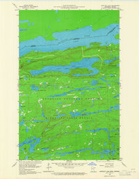
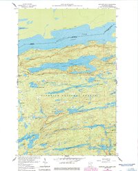
Editions of this 1960 Gunflint Lake Map
3 editions found
Other maps of this area

1919 · Brule Lake
USGS Topo · 1:62,500

1954 · Two Harbors
USGS Topo · 1:250,000

1957 · Two Harbors
USGS Topo · 1:250,000

1957 · Quetico
USGS Topo · 1:250,000

1958 · Two Harbors
USGS Topo · 1:250,000

1959 · Conners Island
USGS Topo · 1:24,000
1960 · South Lake
USGS Topo · 1:24,000
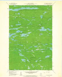
1960 · Eagle Mountain
USGS Topo · 1:24,000

1960 · Brule Lake
USGS Topo · 1:24,000
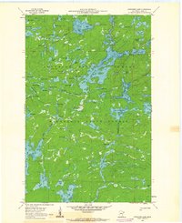
1960 · Cherokee Lake
USGS Topo · 1:24,000