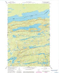
1960 Map of Gunflint Lake
USGS Topo · Published 1986About this map
Gunflint Lake and Magnetic Lake define the international border in this mid-century survey of the Cook County wilderness. The landscape is characterized by a dense network of glacial water bodies, including the elongated Loon Lake and the interconnected drainage of Tucker River. The southern portion of the map is dominated by the Boundary Waters Canoe Area Wilderness, where remote landmarks like Banadad Lake, Finn Lake, and Rush Lake remain largely untouched by development.
Find a feature on this map
47 named features on this map. Tap any name to fly to it.
Don’t see what you’re looking for? This feature index may not catch every label — zoom into the map to look around manually.
Map Details
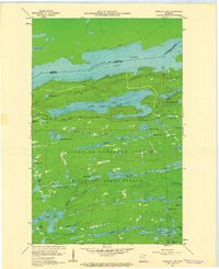
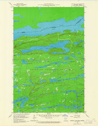
Editions of this 1960 Gunflint Lake Map
3 editions found
Other maps of this area

1919 · Brule Lake
USGS Topo · 1:62,500

1954 · Two Harbors
USGS Topo · 1:250,000

1957 · Two Harbors
USGS Topo · 1:250,000

1957 · Quetico
USGS Topo · 1:250,000

1958 · Two Harbors
USGS Topo · 1:250,000

1959 · Conners Island
USGS Topo · 1:24,000
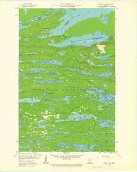
1960 · South Lake
USGS Topo · 1:24,000
1960 · Eagle Mountain
USGS Topo · 1:24,000

1960 · Brule Lake
USGS Topo · 1:24,000
1960 · Cherokee Lake
USGS Topo · 1:24,000