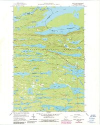
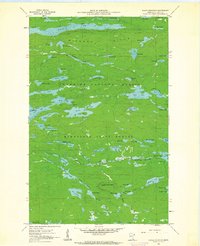
1960 Map of South Lake
USGS Topo · Published 1986About this map
The United States-Canada border bisects a series of interconnected glacial lakes in this remote section of Cook Co during the late 1950s and early 1960s. The landscape is defined by the Boundary Waters Canoe Area Wilderness and the Superior National Forest, where the Laurentian Divide separates watersheds. Transport through this dense wilderness is limited to the historic Gunflint Trail and the Ontario Minnesota MC Railroad corridor near Gunflint Lake.
Find a feature on this map
57 named features on this map. Tap any name to fly to it.
Don’t see what you’re looking for? This feature index may not catch every label — zoom into the map to look around manually.
Map Details
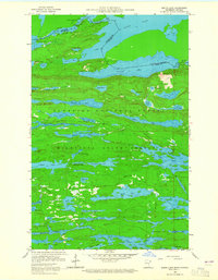
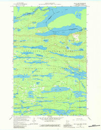
Editions of this 1960 South Lake Map
4 editions found
Other maps of this area

1919 · Brule Lake
USGS Topo · 1:62,500

1954 · Two Harbors
USGS Topo · 1:250,000

1957 · Two Harbors
USGS Topo · 1:250,000

1957 · Quetico
USGS Topo · 1:250,000

1958 · Two Harbors
USGS Topo · 1:250,000

1959 · Lima Mountain
USGS Topo · 1:24,000

1959 · Hungry Jack Lake
USGS Topo · 1:24,000
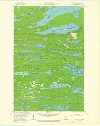
1960 · South Lake
USGS Topo · 1:24,000
1960 · Eagle Mountain
USGS Topo · 1:24,000

1960 · Brule Lake
USGS Topo · 1:24,000