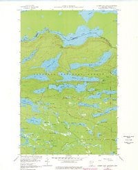
1959 Map of Hungry Jack Lake
USGS Topo · Published 1978About this map
The international boundary between Ontario and Minnesota defines this wilderness landscape as it was documented in the late 1950s. Stretching across the Superior National Forest and Pat Bayle State Forest, the terrain is defined by an intricate network of interconnected waterways. Important overland connections like Stairway Portage and Long Portage trace the historic routes between large bodies of water such as Rose Lake and Daniels Lake. The interior is marked by the presence of the Bearskin Lookout Tower, reflecting mid-century forest management and fire surveillance. Recreational development is evident at the Flour Lake Campground and East Bearskin Campground, while the southern portion features the Gunflint trail corridor. This survey also records numerous smaller basins like Hungry Jack Lake and Squint Lake, illustrating the dense aquatic geography of the Arrowhead region.
Find a feature on this map
58 named features on this map. Tap any name to fly to it.
Don’t see what you’re looking for? This feature index may not catch every label — zoom into the map to look around manually.
Map Details
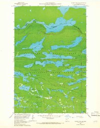
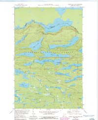
Editions of this 1959 Hungry Jack Lake Map
4 editions found
Other maps of this area

1919 · Brule Lake
USGS Topo · 1:62,500

1954 · Two Harbors
USGS Topo · 1:250,000

1957 · Two Harbors
USGS Topo · 1:250,000

1957 · Quetico
USGS Topo · 1:250,000

1958 · Two Harbors
USGS Topo · 1:250,000

1959 · Pine Mountain
USGS Topo · 1:24,000

1959 · Lima Mountain
USGS Topo · 1:24,000

1959 · Hungry Jack Lake
USGS Topo · 1:24,000

1959 · Crocodile Lake
USGS Topo · 1:24,000
1960 · South Lake
USGS Topo · 1:24,000