Loading...
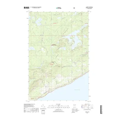
Loading map...1959 Map of Lutsen
USGS Topo · Published 1972About this map
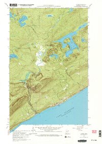
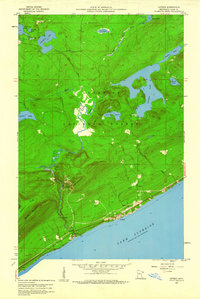
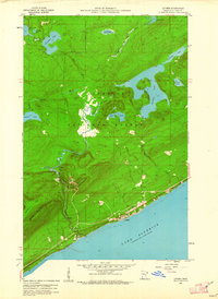
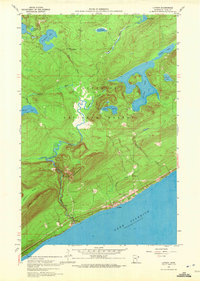
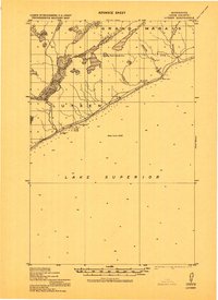
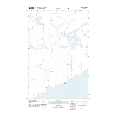
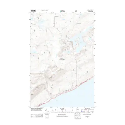
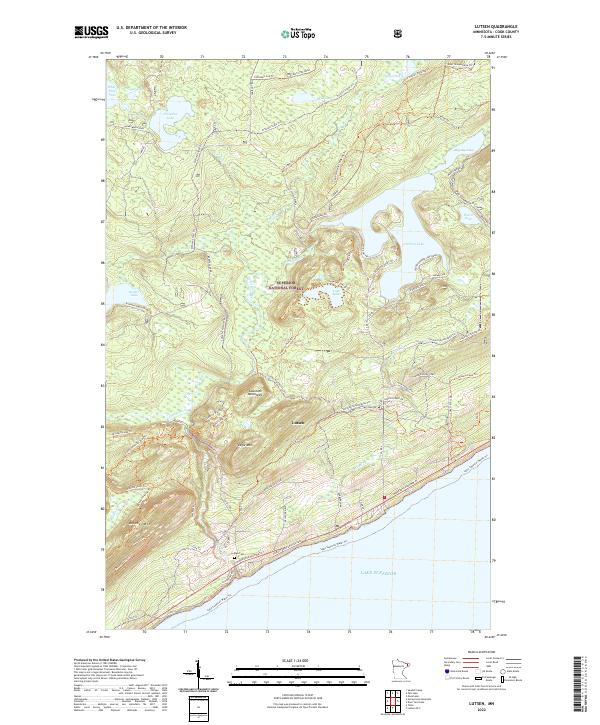
The Lutsen shoreline along the vast expanse of Lake Superior anchors this 1959 field-checked survey of Cook County's North Shore. The settlement is concentrated near the mouth of the Poplar River, where Highway 61 follows the coast toward the Lutsen Cemetery. The interior reveals a dense hydrographic network within the Superior National Forest, characterized by numerous glacial basins including Caribou Lake, Christine Lake, and White Pine Lake.
Find a feature on this map
28 named features on this map. Tap any name to fly to it.
Don’t see what you’re looking for? This feature index may not catch every label — zoom into the map to look around manually.
Map Details
Date Portrayed1959
Date Published1972
PublisherU.S. Geological Survey
Map TypeTopographic
Scale1:24,000
Physical Dimensions21.53 x 27.23 inches
Editions of this 1959 Lutsen Map
4 editions found
Historical Maps of Lutsen Through Time
7 maps found
Featured Locations
Source Details
SourceU.S. Geological Survey
CopyrightPublic Domain