Loading...
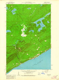
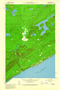
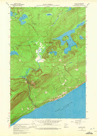
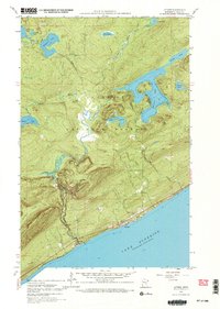
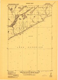
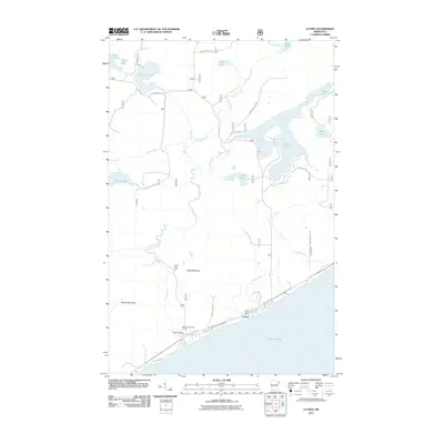
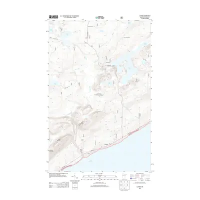
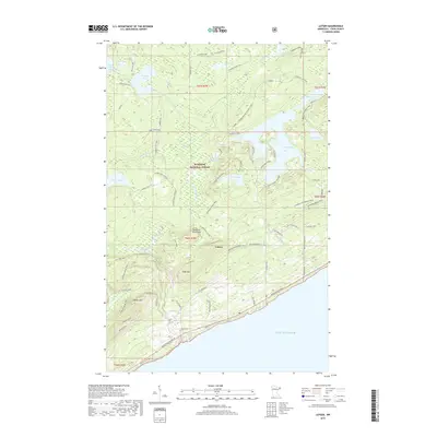
Loading map...1959 Map of Lutsen
USGS Topo · Published 1962About this map
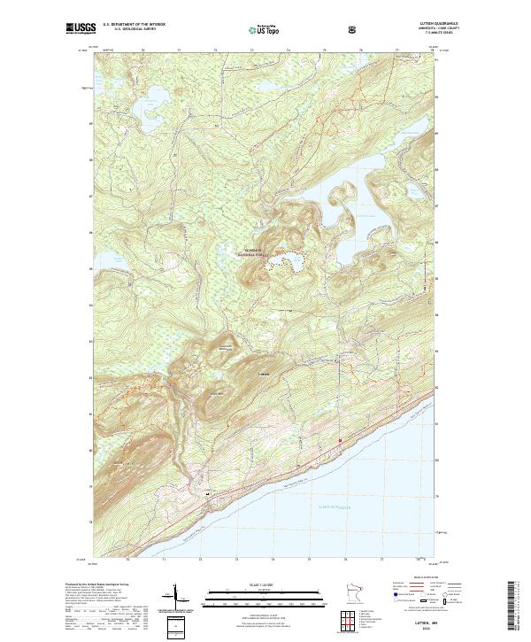
Lutsen sits on the North Shore of Lake Superior in this late-1950s survey, representing a critical era when the region's economy was shifting toward recreation within the Superior National Forest. The landscape is dominated by the dramatic rise of the Sawtooth Mountains, including Eagle Mountain, Moose Mountain, and Rollins Mountain. These heights overlook a dense network of inland waters such as Caribou Lake, Lake Agnes, and Christine Lake.
Find a feature on this map
30 named features on this map. Tap any name to fly to it.
Don’t see what you’re looking for? This feature index may not catch every label — zoom into the map to look around manually.
Map Details
Date Portrayed1959
Date Published1962
PublisherU.S. Geological Survey
Map TypeTopographic
Scale1:24,000
Physical Dimensions20.4 x 28 inches
Editions of this 1959 Lutsen Map
4 editions found
Historical Maps of Lutsen Through Time
7 maps found
Featured Locations
Source Details
SourceU.S. Geological Survey
CopyrightPublic Domain