
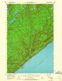
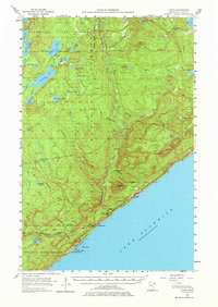
1955 Map of Tofte
USGS Topo · Published 1957About this map
The North Shore of Lake Superior dominates this mid-1950s survey, illustrating the industrial and natural landscapes of Cook County. The coastal settlements of Tofte and Schroeder are prominent, serving as gateways to the interior wilderness. A major industrial development is noted along the shoreline where the Erie Mining Company Railroad is marked as under construction, indicating the expansion of taconite processing and transport at Taconite Harbor. This infrastructure, including a Powerplant and nearby Quarry, contrasts with the vast protected lands of the Superior National Forest and Finland State Forest.
Find a feature on this map
59 named features on this map. Tap any name to fly to it.
Don’t see what you’re looking for? This feature index may not catch every label — zoom into the map to look around manually.
Map Details
Editions of this 1955 Tofte Map
3 editions found
Other maps of this area

1919 · Brule Lake
USGS Topo · 1:62,500

1919 · Lutsen
USGS Topo · 1:62,500

1954 · Two Harbors
USGS Topo · 1:250,000

1955 · Tofte
USGS Topo · 1:24,000

1955 · Schroeder
USGS Topo · 1:24,000

1955 · Cramer
USGS Topo · 1:62,500

1956 · Little Marais
USGS Topo · 1:24,000

1956 · Finland
USGS Topo · 1:62,500

1957 · Two Harbors
USGS Topo · 1:250,000

1958 · Two Harbors
USGS Topo · 1:250,000