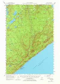
1955 Map of Tofte
USGS Topo · Published 1977About this map
Tofte and Schroeder anchor the rocky shoreline of Lake Superior on this mid-century survey of Cook County. The landscape is dominated by the Superior National Forest and Minnesota State Forest, where early infrastructure like the Honeymoon Lookout Tower and Sawbill Road provided essential navigation and fire watch over the dense timberlands. Inland, a complex network of waterways including the Temperance River, Fourmile Lake, and Tait Lake illustrates the glacial topography of the North Shore.
Find a feature on this map
67 named features on this map. Tap any name to fly to it.
Don’t see what you’re looking for? This feature index may not catch every label — zoom into the map to look around manually.
Map Details
Editions of this 1955 Tofte Map
3 editions found
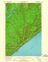
Other maps of this area

1919 · Brule Lake
USGS Topo · 1:62,500

1919 · Lutsen
USGS Topo · 1:62,500

1954 · Two Harbors
USGS Topo · 1:250,000

1955 · Tofte
USGS Topo · 1:24,000

1955 · Schroeder
USGS Topo · 1:24,000

1955 · Tofte
USGS Topo · 1:62,500

1955 · Cramer
USGS Topo · 1:62,500

1956 · Little Marais
USGS Topo · 1:24,000

1956 · Finland
USGS Topo · 1:62,500

1957 · Two Harbors
USGS Topo · 1:250,000