
1956 Map of Little Marais
USGS Topo · Published 1958About this map
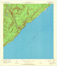
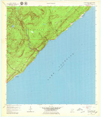
The rocky North Shore of Lake Superior dominates this mid-century survey, where the heavy timber of the Finland State Forest meets the water. The small settlement of Little Marais serves as the primary coastal anchor, situated near where the Little Marais River reaches the lake. This era represents a period of infrastructure expansion along the coast, evidenced by a significant stretch of highway marked as Under Construction paralleling the shoreline. The topography is defined by the rapid descent of several waterways toward the lake basin, most notably the Manitou River and the Caribou River, the latter of which features the dramatic Caribou Falls. This map captures the landscape just before the completion of modern coastal transit routes, showing the natural drainage patterns of Bensen Lake and the indented coastline at Pork Bay and Sugar Loaf Cove.
Find a feature on this map
13 named features on this map. Tap any name to fly to it.
Don’t see what you’re looking for? This feature index may not catch every label — zoom into the map to look around manually.
Map Details
Editions of this 1956 Little Marais Map
3 editions found
Other maps of this area

1954 · Two Harbors
USGS Topo · 1:250,000

1955 · Schroeder
USGS Topo · 1:24,000

1955 · Tofte
USGS Topo · 1:62,500

1955 · Cramer
USGS Topo · 1:62,500

1956 · Finland
USGS Topo · 1:24,000

1956 · Finland
USGS Topo · 1:62,500

1956 · Illgen City
USGS Topo · 1:24,000

1957 · Two Harbors
USGS Topo · 1:250,000

1958 · Two Harbors
USGS Topo · 1:250,000

1964 · Two Harbors
USGS Topo · 1:250,000