
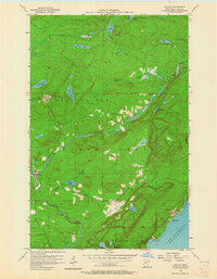
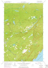
1956 Map of Finland
USGS Topo · Published 1958About this map
The Finland State Forest dominates this mid-1950s landscape, where the cold waters of Lake Superior meet the North Shore's interior highlands. The settlement of Finland serves as a central hub, notably featuring the Finland Air Force Station and the Finland BM Lookout Tower atop the high ridges. These installations represent a specific era of Cold War vigilance and forest management along the northern frontier.
Find a feature on this map
26 named features on this map. Tap any name to fly to it.
Don’t see what you’re looking for? This feature index may not catch every label — zoom into the map to look around manually.
Map Details
Editions of this 1956 Finland Map
3 editions found
Other maps of this area

1954 · Silver Bay
USGS Topo · 1:62,500

1954 · Two Harbors
USGS Topo · 1:250,000

1955 · Isabella
USGS Topo · 1:62,500

1955 · Cramer
USGS Topo · 1:62,500

1956 · Little Marais
USGS Topo · 1:24,000

1956 · Finland
USGS Topo · 1:62,500

1956 · Illgen City
USGS Topo · 1:24,000

1957 · Two Harbors
USGS Topo · 1:250,000

1958 · Two Harbors
USGS Topo · 1:250,000

1964 · Two Harbors
USGS Topo · 1:250,000