
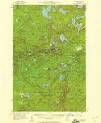
1955 Map of Cramer
USGS Topo · Published 1957About this map
The dense forests and glacial waters of Lake and Cook counties define this mid-1950s landscape, where industry and conservation meet. This area, dominated by the Superior National Forest and the Finland State Forest, is traced by the Minnesota and Northern Railroad as it cuts toward the small settlement at Cramer. The mapping captures a transition in North Shore backcountry access, centered on drainage systems like the Dumbbell River and Manitou River. Numerous family and descriptively named lakes, including Silver Island Lake, Bluebill Lake, and Shoepack Lake, highlight the region's importance for timber and recreation. Strategic high points are marked by fire detection infrastructure, specifically the Wanless Lookout Tower and another unnamed Lookout Tower, which served as critical eyes over the vast timberlands before modern aerial surveillance became standard.
Find a feature on this map
80 named features on this map. Tap any name to fly to it.
Don’t see what you’re looking for? This feature index may not catch every label — zoom into the map to look around manually.
Map Details
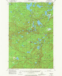
Editions of this 1955 Cramer Map
3 editions found
Other maps of this area

1954 · Silver Bay
USGS Topo · 1:62,500

1954 · Two Harbors
USGS Topo · 1:250,000

1955 · Schroeder
USGS Topo · 1:24,000

1955 · Tofte
USGS Topo · 1:62,500

1955 · Isabella
USGS Topo · 1:62,500

1956 · Little Marais
USGS Topo · 1:24,000

1956 · Finland
USGS Topo · 1:24,000

1956 · Finland
USGS Topo · 1:62,500

1957 · Two Harbors
USGS Topo · 1:250,000

1958 · Two Harbors
USGS Topo · 1:250,000