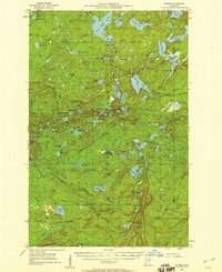
1955 Map of Cramer
USGS Topo · Published 1959About this map
The Erie Mining Company Railroad cuts across the southern portion of this mid-1950s terrain, its route marked as under construction near the settlement of Cramer. This industrial expansion is set against the dense lake country of the Finland State Forest and the Superior National Forest. Notable for its high density of named water bodies, the area includes large expanses like Silver Island Lake and Wilson Lake, as well as the Dumbbell River. Human presence is sparse, centered on the Cramer Homestead and the high vantage point of the Wanless Lookout Tower. The map documents the intricate hydrology of the region, where the Lake and Cook County boundary traverses a landscape defined by names like Wigwam Lake and Cross River.
Find a feature on this map
82 named features on this map. Tap any name to fly to it.
Don’t see what you’re looking for? This feature index may not catch every label — zoom into the map to look around manually.
Map Details
Editions of this 1955 Cramer Map
3 editions found
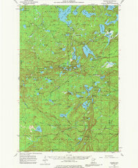
Other maps of this area

1954 · Silver Bay
USGS Topo · 1:62,500

1954 · Two Harbors
USGS Topo · 1:250,000

1955 · Schroeder
USGS Topo · 1:24,000

1955 · Tofte
USGS Topo · 1:62,500

1955 · Isabella
USGS Topo · 1:62,500

1955 · Cramer
USGS Topo · 1:62,500

1956 · Little Marais
USGS Topo · 1:24,000

1956 · Finland
USGS Topo · 1:24,000

1956 · Finland
USGS Topo · 1:62,500

1957 · Two Harbors
USGS Topo · 1:250,000