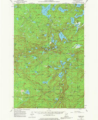
1955 Map of Cramer
USGS Topo · Published 1980About this map
The settlement of Cramer and the industrial activity of the Erie Mining Company Railroad anchor this 1955 survey of the Minnesota wilderness. Situated within the Finland State Forest and the Lake and Cook County borderlands, the area is defined by a dense network of water bodies and early timber-and-mineral access routes. Notable landmarks for fire detection and navigation include the Wanless Lookout Tower and Cramer Lookout Tower, both critical outposts for forest management during this era.
Find a feature on this map
92 named features on this map. Tap any name to fly to it.
Don’t see what you’re looking for? This feature index may not catch every label — zoom into the map to look around manually.
Map Details
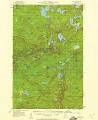
Editions of this 1955 Cramer Map
3 editions found
Other maps of this area

1954 · Silver Bay
USGS Topo · 1:62,500

1954 · Two Harbors
USGS Topo · 1:250,000

1955 · Schroeder
USGS Topo · 1:24,000

1955 · Tofte
USGS Topo · 1:62,500

1955 · Isabella
USGS Topo · 1:62,500

1955 · Cramer
USGS Topo · 1:62,500

1956 · Little Marais
USGS Topo · 1:24,000

1956 · Finland
USGS Topo · 1:24,000

1956 · Finland
USGS Topo · 1:62,500

1957 · Two Harbors
USGS Topo · 1:250,000